


+ 37
Mount Sanitas Loop
Hiking Trail
Hard
3.13 mi
1,307 ft
1:28:59
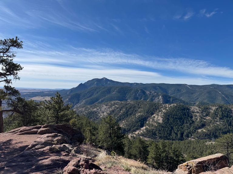
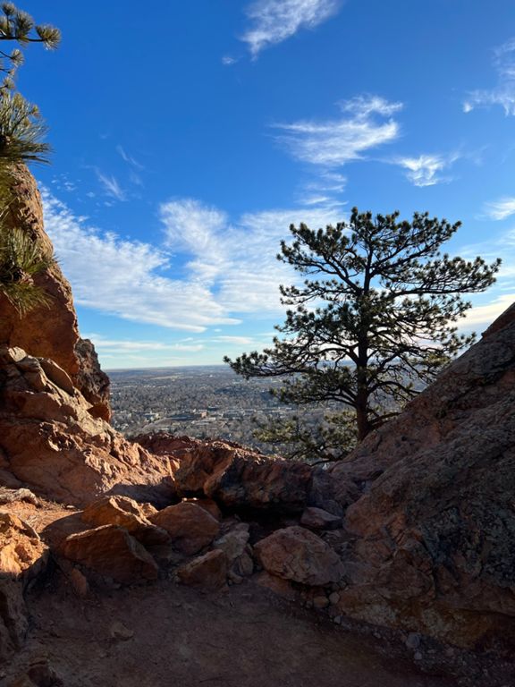
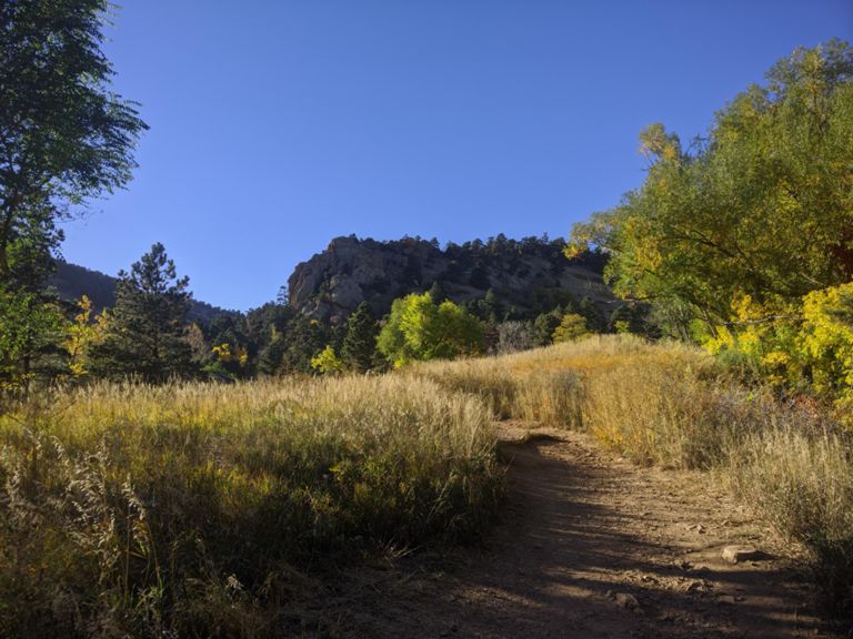
The Mount Sanitas Loop is a beautiful and challenging hike in the Boulder Open Space and Mountain Parks. The trail follows a loop route with most Strava members proceeding clockwise. Hikers will reach the summit of Mt. Sanitas via the Mt. Sanitas trail then return to the start via the Sanitas Valley Trail. Because of the significant amount of elevation gain, most consider this a hard hike. This hike is popular with local Strava members.
Route and Elevation
Segments
| Name | Distance | Elev. Diff. | Avg. Grade |
|---|---|---|---|
| Sunshine Canyon Dr Climb | 0.26 mi | 341 ft | 23.8% |
| Mt Sanitas clockwise from fork | 3.07 mi | -1,296 ft | -0.0% |
| Sanitas Climb (West) | 1.17 mi | 1,273 ft | 20.5% |
| Sanitas ridge to the power line | 0.90 mi | 968 ft | 19.9% |
| Sanitas Climb (steep side) | 1.29 mi | 1,293 ft | 18.3% |
| Mount Sanitas Trail Climb | 0.36 mi | 207 ft | 10.9% |
| Mt Sanitas downhill top to road | 0.68 mi | -751 ft | -20.7% |
| Mt Sanitas road downhill clockwise | 1.13 mi | -525 ft | -8.8% |